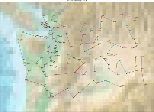
I occasionally dabble with flight simulators. Since I own X-Plane 11 with the OrbX TrueEarth Washington scenery, I thought it’d be fun to visit every airport in the state. I started with this list from Wikipedia, which I manually annotated with longitude/latitude from skyvector.
Then I spent some time figuring out how to even start plotting a route. At first I was led astray by the mlrose python library. Running simulated annealing for hours gave me a route that was 4242 miles in total, and you could just look at it to see it wasn’t very good. The LKH software works much better. In just a few seconds it computes a route that is 3402 miles. There are still some obvious problems with that route, which I fixed by hand. This gave me the route in the picture, which is 2717 miles. I’m sure much better routes exist, but this is good enough for me.
